


Fort Faron-14-10-22

Christiancordin
User
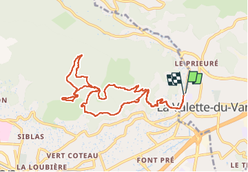

Length
11.9 km

Max alt
494 m

Uphill gradient
583 m
Km-Effort
19.7 km

Min alt
73 m

Downhill gradient
582 m
Boucle
Yes
Creation date :
2022-10-14 07:15:07.896
Updated on :
2022-10-16 16:34:06.336
3h39
Difficulty : Medium

FREE GPS app for hiking
 SityTrail
IGN / Geographical institutes
SityTrail Plus
The world is yours!
About
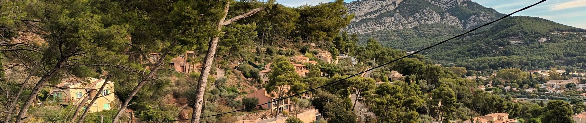
Trail Walking of 11.9 km to be discovered at Provence-Alpes-Côte d'Azur, Var, La Valette-du-Var. This trail is proposed by Christiancordin.
Description
Départ la valette pk du stade des Terres Rouges-vallon des hirondelles- Antenne haut du trou du diable-Fort Faron.
Photos


Positioning
Country:
France
Region :
Provence-Alpes-Côte d'Azur
Department/Province :
Var
Municipality :
La Valette-du-Var
Location:
Unknown
Start:(Dec)
Start:(UTM)
742267 ; 4780709 (31T) N.
Comments